


Mapping the Red Sea
Saudi Aramco undertakes an unprecedented geological task on the Kingdom’s West Coast as we look to first understand, and then uncover, the treasures buried beneath the waters of the Red Sea.
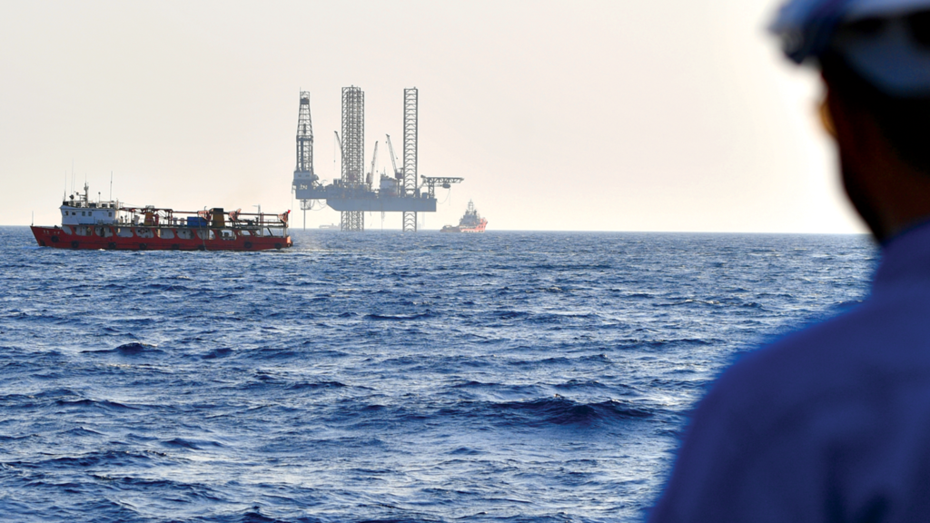
The task of mapping the seabed was colossal. Almost a decade ago, Saudi Aramco made the decision to conduct the world’s largest single hydrographic survey in the Saudi Red Sea waters — an area of almost 200,000 square kilometers (km2).
Prior 2-D seismic data acquisition had revealed positive signs for the presence of hydrocarbons in geological traps. Just like the Eastern Province in the early 1940s, the Red Sea was frontier territory — unexplored. Its development would be a catalyst to spur growth and industry in the Western Region.
A large-scale hydrographic survey — never before done in these historic waters — was required to fully understand the seafloor conditions. The hydrographic survey with its close grid analysis would help support all oil field operations, including rig movements, laying of pipelines, oil field facilities, and the routes for supply vessels.
“We got a good understanding, but lacked the topography of the seabed,” noted Saleh A. Al-Maghlouth, manager of the Exploration Operations Department. “So we undertook this groundbreaking hydrographic survey to help us better understand the structures and where to drill.”


 Email: info@cyber-gear.com